About this HTML presentation
This Shipslides page presents Plate Tectonics — Field Guide as an interactive HTML presentation deck in the Science catalog with 13 slides. The share page keeps the uploaded deck sandboxed while exposing readable context, topics, and a slide outline for viewers and search engines.
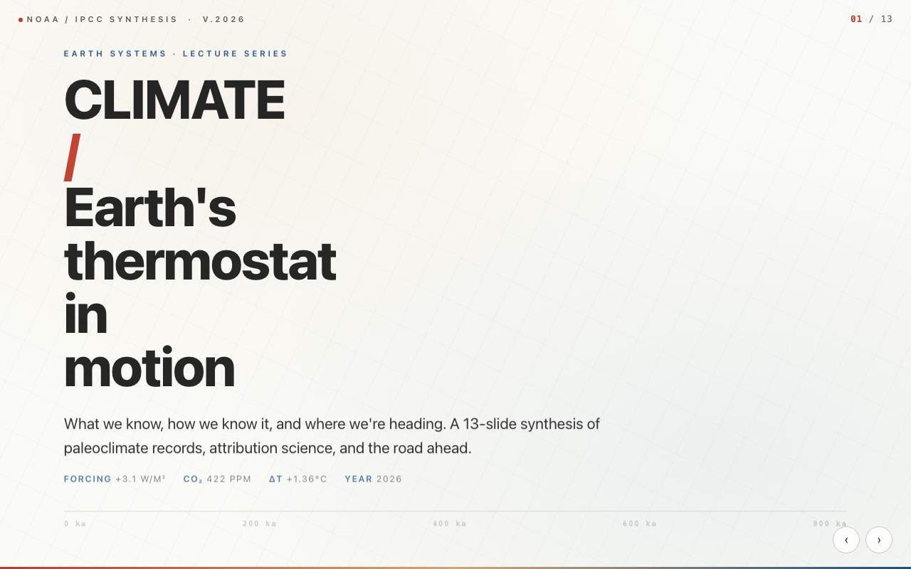
Alfred Wegener, a German meteorologist, noticed that the coastlines of South America and Africa fit like puzzle pieces. Matching fossils, glacial deposits, and rock formations on opposite Atlantic shores convinced him: continents move . Key sections include: PLATE TECTONICS; Wegener, 1912; Magnetic stripes, 1960s; The Grand Synthesis, 1967-68; The Plates; Boundaries; Subduction; Collision; Hotspots; Earthquakes.
Key sections
- 01PLATE TECTONICS
- 02Wegener, 1912
- 03Magnetic stripes, 1960s
- 04The Grand Synthesis, 1967-68
- 05The Plates
- 06Boundaries
- 07Subduction
- 08Collision
- 09Hotspots
- 10Earthquakes
- 11Past Supercontinents
- 12Pangaea Ultima
- 13Closing